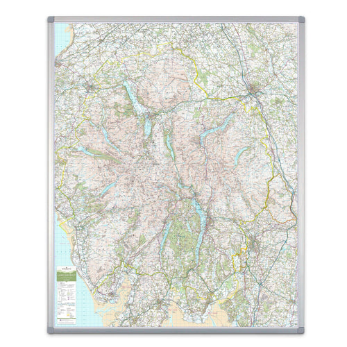
A large wall map of the Brecon Beacons National Park printed using the UK’s most iconic mapping for outdoor activities; the Ordnance Survey’s Topographic base.
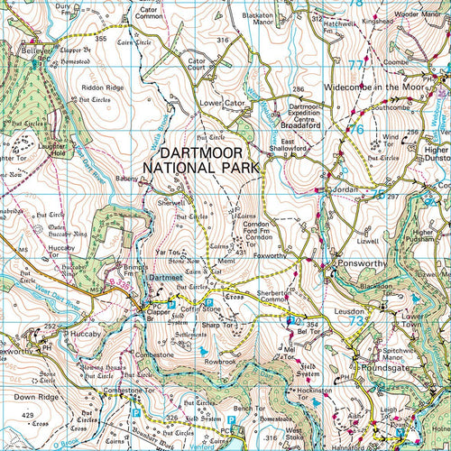
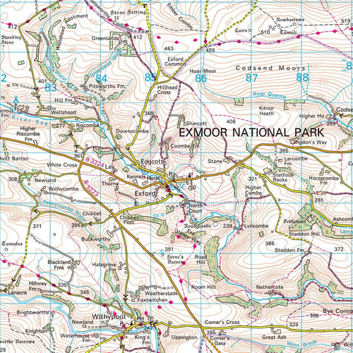
Mapping printed at the full 1:50000 scale, 2cm = 1km. The wall map shows the whole of the National Park area with additional space around the park boundary for context. Features the towns of Cwmbran, Hay on Wye, Pontypool, Abergavenny, Neath and Swansea.
Available in a durable encapsulated finish, supplied rolled. This lamination is ideal for use with non-permanent pens to write on – wipe off, perfect for route planning.
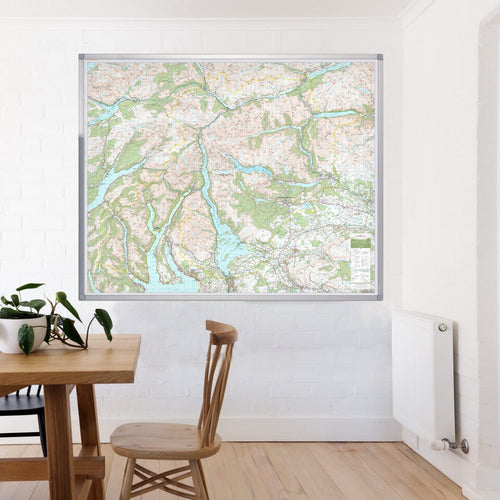
The framed version is also laminated and has a pin board backing for the use of pins, which makes for a fantastic display board for recording hikes and adventures.
This map is permanently bonded between two sheets of tough, flexible, crystal-clear plastic. This finish allows you to “write on, wipe off” with dry or wet wipe pens. This map is also available laminated and framed in either superb satin-finish aluminium (metal backing optional) or light, black or dark wood supplied ready to display.
Print Size: 120 x 150cm
Orientation: Landscape
Scale: 1:50,000 (2cm = 1km)
Mapping base: Ordnance Survey Landranger
Key towns included: Cwmbran, Hay on Wye, Pontypool, Abergavenny, Neath, Swansea
Brecon Beacons - UK National Park Wall Map

Product Code: BESPBRECON
A large wall map of the Brecon Beacons National Park printed using the UK’s most iconic mapping for outdoor activities; the Ordnance Survey’s Topographic base.
Mapping printed at the full 1:50000 scale, 2cm = 1km. The wall map shows the whole of the National Park area with additional space around the park boundary for context. Features the towns of Cwmbran, Hay on Wye, Pontypool, Abergavenny, Neath and Swansea.
Available in a durable encapsulated finish, supplied rolled. This lamination is ideal for use with non-permanent pens to write on – wipe off, perfect for route planning.
The framed version is also laminated and has a pin board backing for the use of pins, which makes for a fantastic display board for recording hikes and adventures.
This map is permanently bonded between two sheets of tough, flexible, crystal-clear plastic. This finish allows you to “write on, wipe off” with dry or wet wipe pens. This map is also available laminated and framed in either superb satin-finish aluminium (metal backing optional) or light, black or dark wood supplied ready to display.
Print Size: 120 x 150cm
Orientation: Landscape
Scale: 1:50,000 (2cm = 1km)
Mapping base: Ordnance Survey Landranger
Key towns included: Cwmbran, Hay on Wye, Pontypool, Abergavenny, Neath, Swansea
REVIEWS