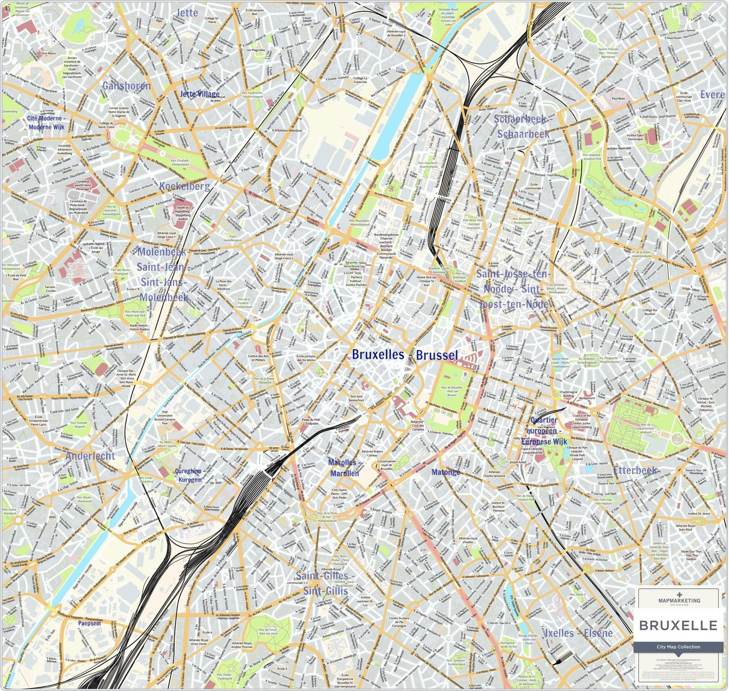
The Brussels Wall Map from the 'City Map' series Brussels map is a street level view of the whole city.
Covering the main Brussels city area with a bright and clear mapping style. Labelled on the map are names of key streets, boroughs and districts in the local spelling, plus places of interest.
- Size: 79 x 75cm
This Brussels map is permanently bonded between two sheets of tough, flexible, crystal-clear plastic. This finish allows you to “write on, wipe off” with dry or wet wipe pens. This map is also available laminated and framed in either superb satin-finish aluminium or light, black or dark wood supplied ready to display.
Other maps available in the 'City Map' series.
REVIEWS


