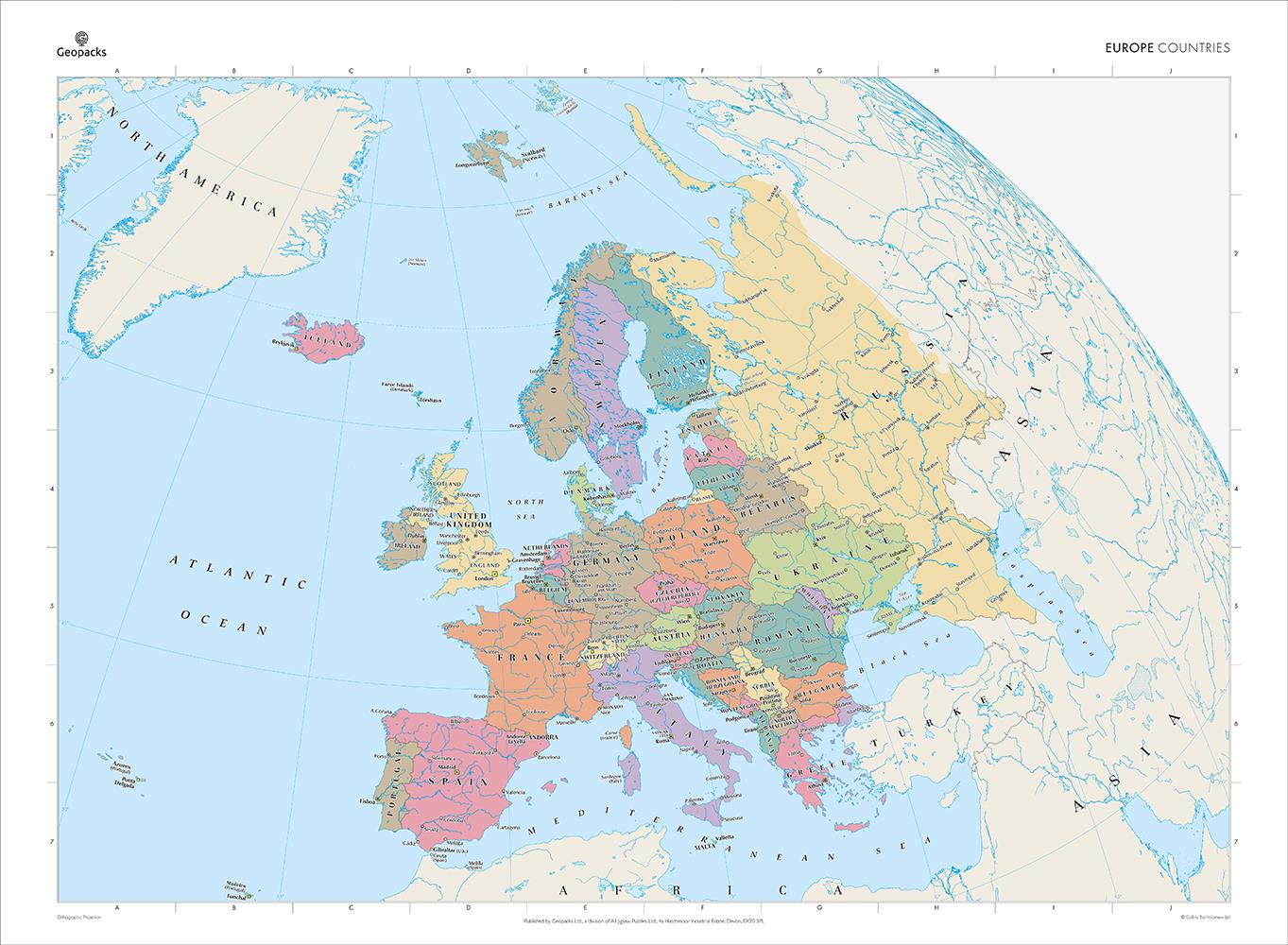


This map of Europe's political boundaries stands as a benchmark of cartographic excellence, sourced from the industry-leading Times Comprehensive Atlas of the World. Published in full colour, this map offers a comprehensive and updated view of the diverse countries, capitals, cities, and regions that characterise the European continent. Detailing the national borders, capital cities, and key urban centres, this map provides a clear representation of Europe's political landscape. With meticulous attention to detail, this map is an indispensable guide to the geographic intricacies and highlights of Europe's political landscape.
Size: 69 x 94cm
Europe Political Map

Product Code: ZMM0001
This map of Europe's political boundaries stands as a benchmark of cartographic excellence, sourced from the industry-leading Times Comprehensive Atlas of the World. Published in full colour, this map offers a comprehensive and updated view of the diverse countries, capitals, cities, and regions that characterise the European continent. Detailing the national borders, capital cities, and key urban centres, this map provides a clear representation of Europe's political landscape. With meticulous attention to detail, this map is an indispensable guide to the geographic intricacies and highlights of Europe's political landscape.
Size: 69 x 94cm
REVIEWS